Preparation of base server maps, systematic exploration of reserves in the Geological Survey
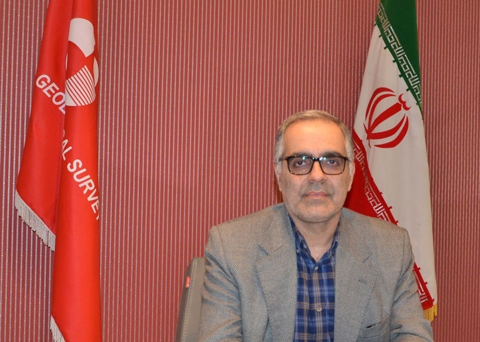
The head of the Geology and Mineral Exploration Organization of the country mentioned the preparation of basic server maps, systematic exploration of mineral reserves and systematic geological studies of engineering and hazards as new projects of this organization in the year of "production, support and disruption".
According to the International Iranian Stone Exhibition, "Alireza Shahidi" added: "Preparation of geology maps of the second generation of basic servers was localized last year using the scientific capacity of the Research Institute of Earth Sciences and specialists of the Geology and Mineral Exploration Organization. The basis for the continuation of the programs for this year will begin with new methods in the collection of information.
The Deputy Minister of Industry, stating that the preparation of geological maps of the second generation of basic servers was considered for the first time in 1398, added: The foundation was prepared in the Geology and Mineral Exploration Organization of the country with the participation and specialized ability of the Earth Sciences Research Institute and the technical and scientific capacities of this organization, after which this method will be used as a criterion for leading projects this year.
Emphasizing that the geological maps of the 2nd generation of the base server will be prepared based on the basic database and dynamically, he said: "The speed and accuracy of the maps compared to the maps prepared in previous years by the Geological Survey of the country is not comparable." Therefore, we will see a very big leap in this sector.
Shahidi stated: Moving towards the national coverage of the country and preparing all new geological maps will be the most important goal of the Geological Survey of the country in the seventh development plan and as a new project this year.
According to him, the aim of the organization will be to carry out 120 projects in the field of geology, 151 projects in the field of exploration and 107 projects in the field of surveillance and monitoring of natural hazards, environment and engineering geology.
The head of the Geological and Mineral Exploration Organization of the country mentioned the beginning of systematic exploration operations as other programs of this organization this year and said: the program that is considered as a new issue in the field of exploration is the beginning of systematic exploration operations in four layers of information. It is the first time in the country that metallic, non-metallic information, strategic elements and precious and semi-precious stones are monitored simultaneously in a survey.
Shahidi pointed out: The method of collecting this new and up-to-date information is in accordance with the latest world standards, according to which the organization's new exploration projects this year will move towards systematic explorations on a scale of one thousand and fifty thousand for the first time.
He added: "In the Seventh Development Plan, we intend to move towards the widespread production of systematic exploration maps so that we can obtain new and up-to-date information based on analysis and advanced harvesting methods of the world."
Referring to the organization's progress plans in the field of geological hazard monitoring and monitoring, the Deputy Minister of Industry said: "We will lead the review of hazard surveys and the beginning of systematic studies and the preparation of targeted engineering geology, hazards and environmental maps." It was done last year and will be implemented for the first time this year.
Shahidi stated that some projects in the field of risk this year will be defined based on systematic sheets, noting that the movement of this organization to produce basic information based on standard indicators as the needs, plans and planning priorities of the organization this year, which is what It illuminates our path in the Seventh Development Plan.
