Carrying out 100,000 square kilometers of mineral exploration by the end of the year
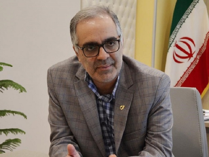
Head of Geological Survey and Mineral Exploration: In the first 6 months of this year, 50,000 square kilometers of mineral reserves were explored, including identification, exploration, general and detailed exploration, which will reach 100,000 square kilometers by the end of the year.
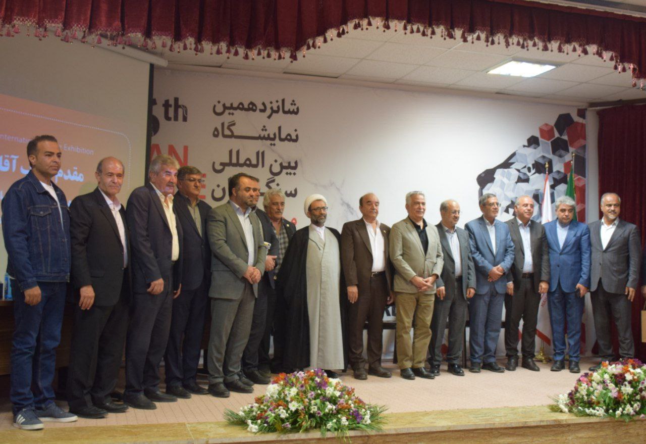
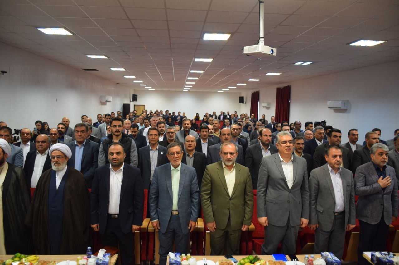
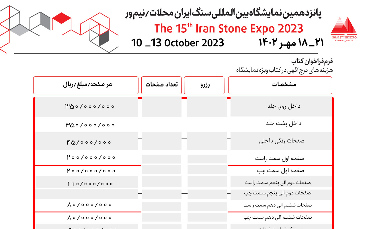
According to the International Iranian Stone Exhibition, Dr. Alireza Shahidi announced: "According to the plan to achieve 115,000 square kilometers of mineral reserves, this year is expected to be achieved with the participation of the private sector and public resources before the end of the twelfth government."
He pointed out that the preparation of applied geological maps at different scales (land and sea) in the first 6 months of this year amounted to 30 map-report sheets, which achieved about 64% of the quantitative goal of the program, which is 47 map-report sheets.
The head of the Geology and Mineral Exploration Organization added: "Using the latest technologies and localized experience, this organization has predicted an increasing change in terms of exploration rates and identification of new mineral reserves and reaching a new record in the twelfth government."
Referring to the organization's actions in preparing engineering maps and geological and environmental hazards, Shahidi noted: "The slightly anticipated goal for this year is to achieve 30 map reports, which in the first six months of this year amounted to 22 reports." The plan achieved nearly 75% of the program goal. Last year, in the field of preparing engineering maps and geological hazards such as earthquakes, dust, floods, subsidence, climate and marine changes, 35 maps were prepared, the number of applied geological maps prepared is 47, which achieved the set goal.
According to the Geology and Mineral Exploration Organization, the head of the Geology and Mineral Exploration Organization of the country, while reminding the amount of aerial geophysical surveys that were targeted for last year at 30,000 linear kilometers, said: 35,000 linear kilometers of the targeted program Went beyond. This year, aerial geophysical exploration (harvesting, processing, interpretation, modeling and introduction of promising areas) has defined the goal of 35,000 linear kilometers, which in the first half of this year was achieved by nearly 63% and 22,000 linear kilometers.
* ISNA
