300,000 square kilometers of mineral exploration
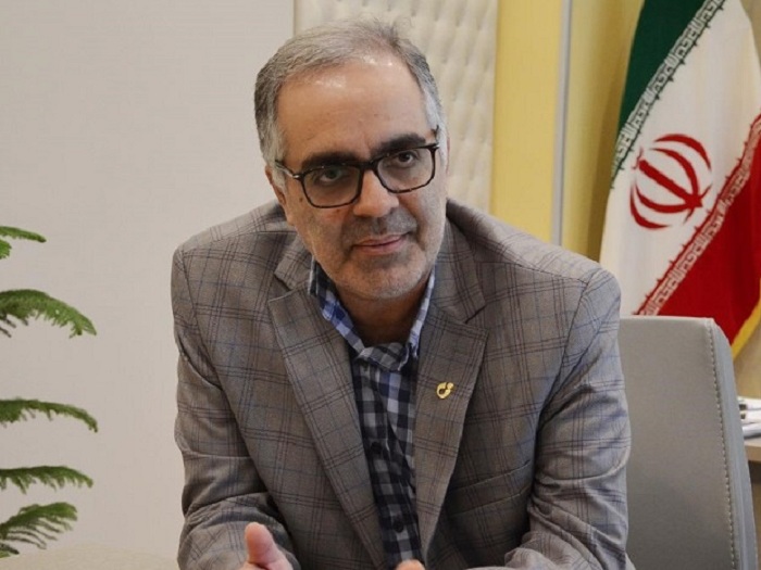
According to the head of the Geological and Mineral Exploration Organization, the exploratory identification and exploration projects of the Geological and Mineral Exploration Organization in the first six months of the production leap year will lead to exploratory leaps in the area of 300,000 square kilometers, which is twice the projected target this year. Is.
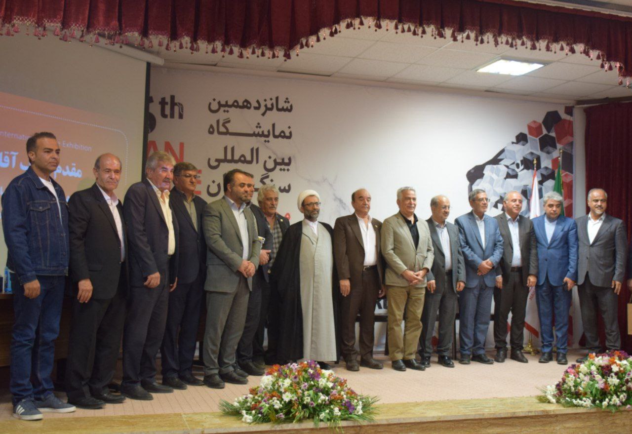
According to the International Iranian Stone Exhibition, Alireza Shahidi stated that these goals will be achieved with the participation of the private sector and public resources of the government, said: In order to maintain the health protocols and the health of the experts, the technical missions in the field of mineral reserves and geological studies were not to be disrupted. Therefore, with the efforts of the experts of the Geological Survey of Iran, we passed this difficult stage.
The head of the Geological Survey and Mineral Exploration announced: The design and implementation of a new mechanism of aerial geophysical exploration with funding from the private sector in the form of multilateral agreements in potential provinces will be another program of the Geological Survey and Mineral Exploration before the end of the 11th government.
The Deputy Minister of Industry, Mines and Trade stated: "Although the costs of the aerial geophysics method are high, but the advantages of this method can be that it leads us to hidden and deep reserves that can not be identified and traced by surface exploration methods." , Leads, named. The Geology and Mineral Exploration Organization of the country, using the latest technologies and localized experience, has predicted an increasing change in terms of the rate of exploration and identification of new mineral reserves and reaching a new record.
Announcing the implementation of renovation projects and equipping earth science laboratories in the country as one of the important infrastructures in accelerating exploration projects, Shahidi said: "Among the notable points is the increase in efficiency in the field of mineral analysis and earth science laboratories. Laboratories Since the beginning of the year, mineral analysis has grown by 50%, which has accelerated the speed of exploration in the detection and search phase to an acceptable level.
According to the Ministry of Silence, the head of the Geological and Mineral Exploration Organization expressed hope that the implementation of the country's aerial exploration and geophysical projects with the participation of the private sector and the timely allocation of the organization's budget resources before the end of the 11th government will change. Country register.
Initiate systematic explorations in five layers
Regarding another activity of the Geological Survey of Iran, the Deputy Minister of Industry, Mines and Trade stated: In 1399, in order to update the basic information produced in previous years, by changing the approach, the preparation of second generation geological maps and systematic explorations began. In five layers of geochemistry, metallic, non-metallic, rare earth elements and strategic metals and precious stones in its work plan.
He pointed out: in preparing the above information, satellite image information is used and all information is published in the GIS context and is provided to public and private organizations and companies through the website of the National Earth Science Database.
* ISNA
