Release and transfer of thirty exploration areas
Head of Mining and Mineral Exploration Organization: This year we plan to release and transfer 30 exploration areas, which will soon be listed by the Ministry of Industry, Mines and the Ministry of Industry, Mines and Mining Industries and Mining Industries. We trade.
According to the International Exhibition of Iranian Stone, the production of basic information and identification of reserves, identification of hazards with the aim of preventing social harm and loss of national wealth are the two governing duties of the Geological Survey and Mineral Exploration Organization.
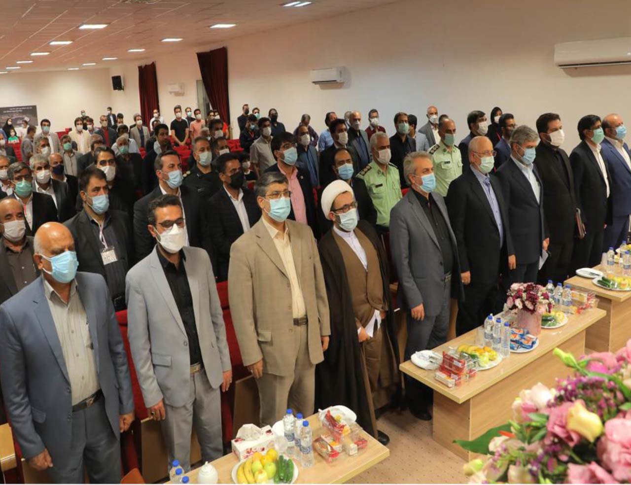
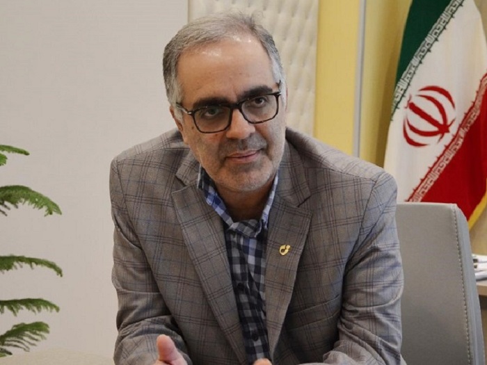
For the past sixty years, the Organization of Geology and Mineral Exploration has been working as a reliable source in all geological and exploratory activities in the country. Due to the role of the Geological Survey and Mineral Exploration Organization in exploratory studies and the importance that this organization has given to the private sector since last year, Samat newspaper went to Alireza Shahidi, the head of the Geological Survey and Mineral Exploration Organization, and talked to him. You read below.
How many years has the Geological Survey been exploring through aerial geophysics to identify the country's hidden mineral potentials, and how successful has it been?
Aerial geophysics is a convenient and economical way to discover hidden mineral deposits. In recent years, the country's Geological Survey and Mineral Exploration Organization has been able to cover about 700,000 kilometers of linear land in the country according to exploratory priorities. It is important to note that last year the task was to determine all the perceptions and bring them to the stage of analysis, modeling and introduction of promising exploratory areas. At present, all areas covered by aerial geophysics have been determined.
How do you see the hidden potential of mining this year?
In the first half of this year, the additional stages of the two regions in the central provinces of North Khorasan will be determined, and then new harvests will be carried out according to the Ministry of Industry, Mines and Trade's plan to carry out aerial geophysical operations at the level of one hundred and fifty thousand kilometers per year. The leap of production begins. The project is funded by the Iranian Organization for the Development and Renovation of Mines and Mining Industries (Imidro). In the first phase, based on the priority announced by Imidro, we have about seventy thousand kilometers of linear data to extract information.
Late last year, the Geological Survey spoke about the importance of private sector participation in the organization's projects and held an auction. How much does the Geological Survey believe in the private sector's role in exploration?
Due to its governing role in producing basic geological and exploratory information based on available financial resources and its priority programs, the Geological Survey and Mineral Exploration Organization has outsourced specialized services to the private sector, as well as liberalizing and transferring its exploration areas. Since last year, the level of participation and empowerment of the private sector and consulting and specialized companies in the two categories of outsourcing and the establishment of geological and exploratory services has been improved. We do this through an auction, as well as by awarding the organization's exploration areas that have a license or discovery certificate through an auction. Last year, in the discussion of outsourcing geological and exploration services in the amount of about two hundred and fifty billion rials, and in the transfer of exploratory areas for private sector activity in the country's mining cycle, we transferred about six areas to the private sector in the form of legal formalities.
How important are financial resources in advancing the projects of the Geological Survey?
Our country's need, based on the first priorities of exploration, is to carry out an air geophysical cycle of 2.7 million kilometers, the most important of which is to provide adequate funding. If resources are allocated, we have the ability to conduct these studies with the appropriate facilities for hardware and software and expert experts. Creating prosperity in the activities of the Geological Survey requires the special attention of government officials and officials to increase the production capacity of information to mobilize the country's infrastructure, infrastructure and mining activities, because the information layers produced in this organization, which is nearly four hundred layers, are necessary for development, infrastructure, mining and even The future of mining reserves is the creation and development of safe cities in terms of natural hazards and the optimal and safe implementation of construction and infrastructure activities, but unfortunately it has not been given due attention so far, while its importance should be seriously reviewed by major decision makers and planners.
What is the status of releases and assignments?
This year, we plan to release and transfer 30 exploration areas, which will soon be provided to the Ministry of Industry, Mines and Trade by the Deputy Minister of Mines and Mining Industries for a list of areas that can be liberated and continued by the private sector. Assignable areas that now have a license or discovery certificate are also being formally evaluated for legal procedures for transfer to the private sector. In the coming months, we will inform the general experts, miners and investors of this sector about the manner and type of their transfer.