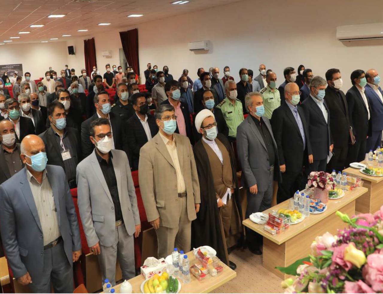
Mine Roadmap, Priority for Government Agencies
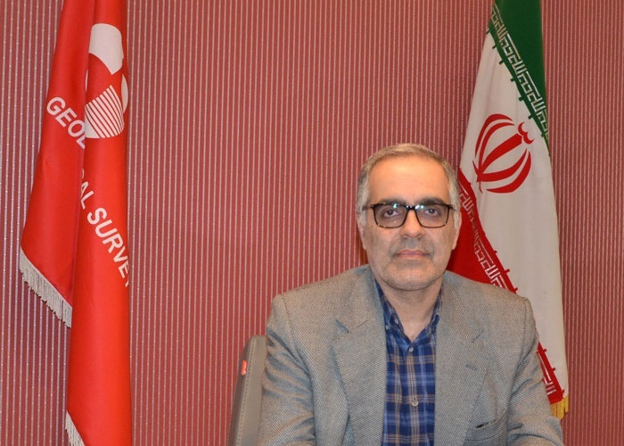
Head of Geological Survey: The Geological Survey is obliged to monitor the country in terms of information and to try to identify areas of higher priority for exploration.
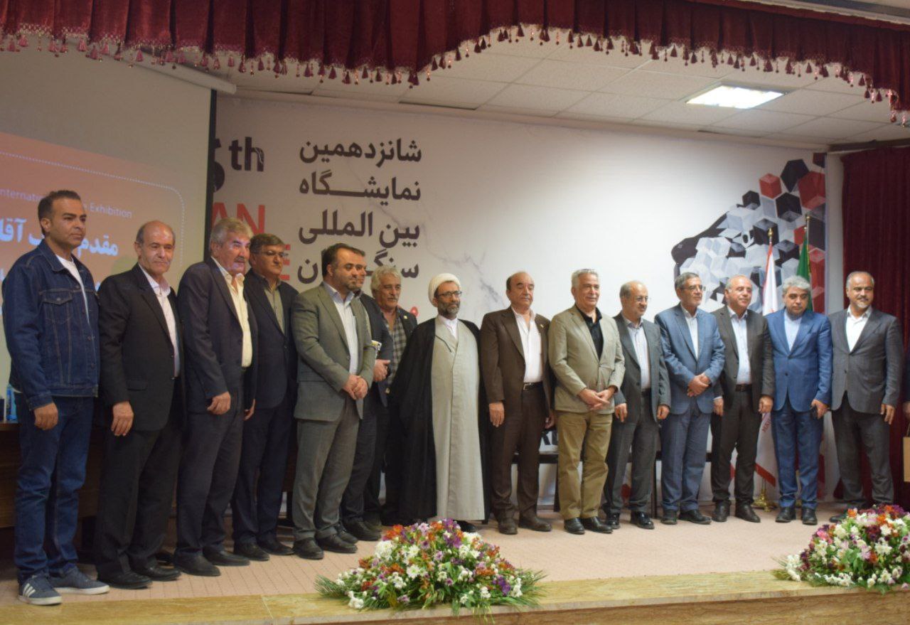
According to the International Stone Exhibition of Iran, mining and mining are among the seven pillars of the Ministry of Industry, Mining and Trade. In this regard, the Geological Survey, as one of the Ministry's subordinate agencies, has put the mine roadmap on the line.
Since this plan has been formulated, approved and communicated, all sections of the organization have been required to act on it.
The Geological Survey is obliged to monitor the country in terms of information and to try to identify areas of higher priority for exploration. In this regard, we have selected twenty-five air blocks for aerial geophysical harvesting, covering an area of approximately two million seven hundred and fifty thousand linear kilometers.
We intend to explore about 600,000 kilometers of the country in this way to discover more rich mineral reserves.
The organization is also responsible for identifying and tracking mineral areas. Given that large devices were used for exploration in the past, and that they were hard to carry with a wheelchair, today, with the evolution of knowledge, these devices have become smaller. We use UAVs to save time and money, though the financial resources available to us are very low and have caused the Geological Survey to back down. In fact, with the resources provided to us, we can do nothing more.
* Alireza Shahidi, Head of Geological Survey of Iran
