Geological Survey seeks to discover hidden reserves
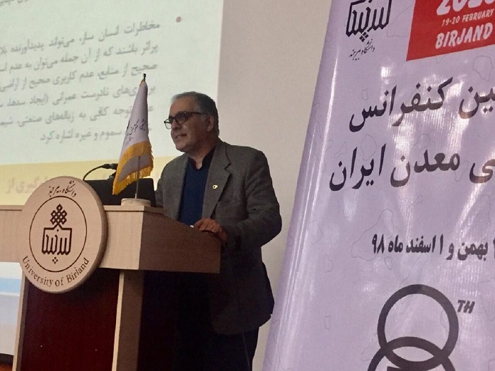
Head of Geological Survey: This organization has changed its view of the past and we are no longer looking for surface exploration but for deep exploration and hidden deposits in the country.
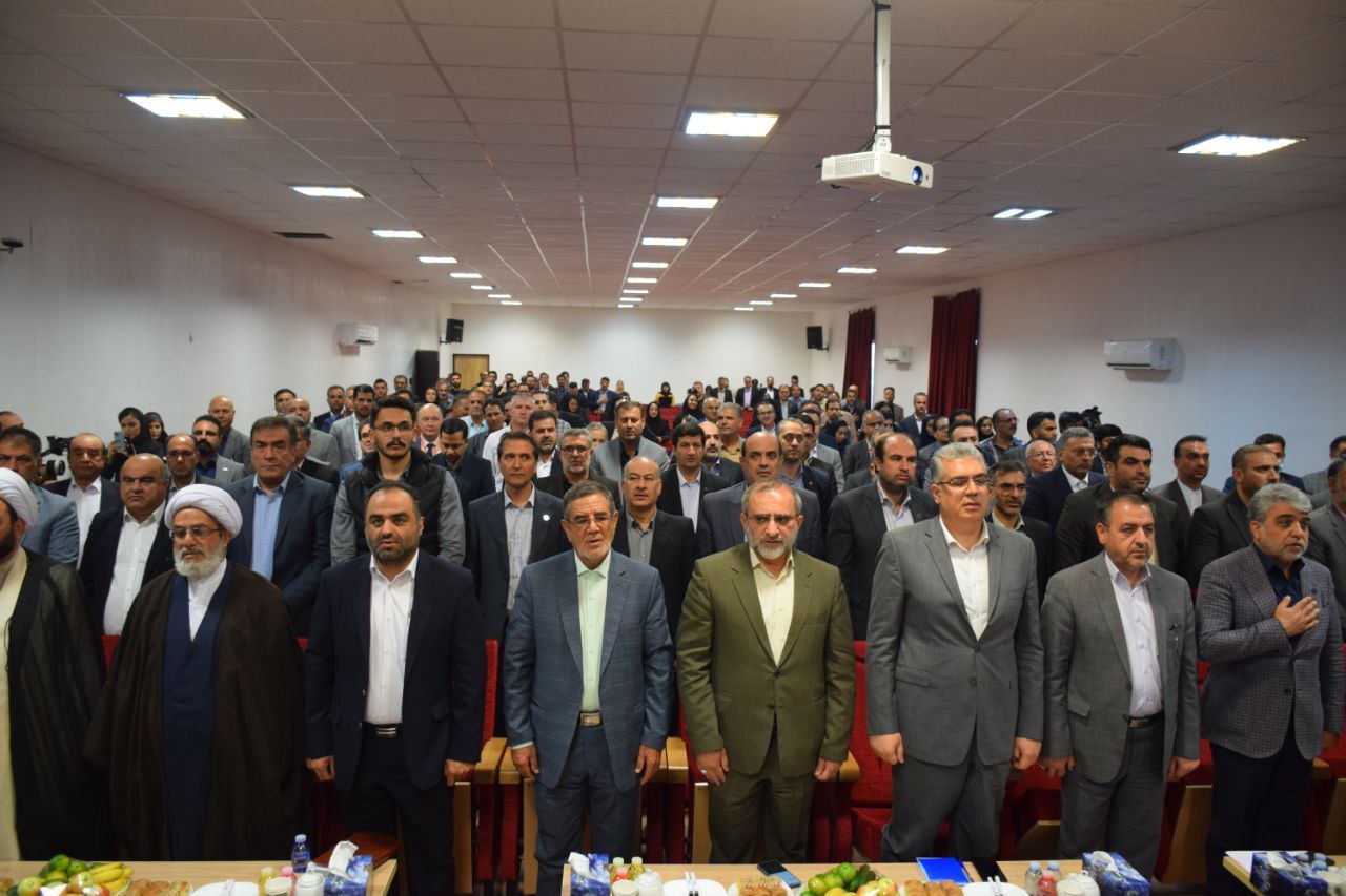
Alireza Shahidi said at the opening ceremony of the 8th Iranian Mining Engineering Conference at Birjand University: "We use aerial geophysical services and in southern Khorasan we have had aerial geophysics in recent years which has a hundred and seven aerial geophysical anomalies in the province" Found and we seek to identify them.
He said: "We have six hundred and forty thousand kilometers of aerial geophysics in the country that covers one hundred and fifty thousand square kilometers of the country and we released National Atlas of Iran Mineral Potentials at the scale of one millionth.
He said: "We have harvested 1,900 square kilometers of the country with a scale of one hundred thousand and the result has been the formulation of a mineral potential at the scale of one hundred thousand a year; this atlas is ten times more accurate than the previous one.
The head of the Geological Survey said: "Sixty years have passed since the establishment of basic information production in the country, and forty-three types of hazards have been recorded worldwide, with thirty-four hazards being observed by the Geological Survey."
He said: Some of these hazards like flood and earthquake are known to people and when it occurs in the country people observe it well, but some hazards such as land subsidence that existed in South Khorasan have recently been added.
Shahidi said: Of the six hundred and two plains that exist in the country, four hundred and twenty plains and its associated aquifer are banned by the Ministry of Energy.
He added: "The Geological Survey of Minerals in the field of mineral exploration is producing wealth for the country by the measures it has taken and so far we have examined several geological evidence throughout the country."
He said: One hundred thousand maps are sixteen times more accurate than two hundred and fifty thousand maps, and twenty five thousand maps are ninety six times more accurate than two hundred and fifty thousand maps that we have built in the Geological Survey. Get closer to Earth to increase the accuracy of our work.
The head of the Geological Survey added: "In each of the maps we have to extract six hundred intelligence data, and we have recently released several maps in the country that are about earthquakes and earthquakes, floods and collapses and dust zones."
He said: "If we look at the country in terms of minerals, today we have 12,000 metallic and non-metallic mineralization dispersions in the country and if we consider the percentage of total reserves, from the known minerals in the country of fifty-five billion tons of geological reserves The country and its forty billion tonnes of definite reserves are sixty-seven percent for building materials and ten percent for metal, nineteen percent for non-metallic and four percent for ornamental stones.
The 8th Iranian Mining Engineering Conference, hosted by the University of Birjand, will continue until tomorrow.
Forty-five papers for the lecture and two hundred and fourteen articles will be presented as posters at this conference.
Mine is one of the economic potential of South Khorasan and so far more than forty types of minerals have been identified in this border and desert province of which Tabas coal is the most famous.
* IRNA
