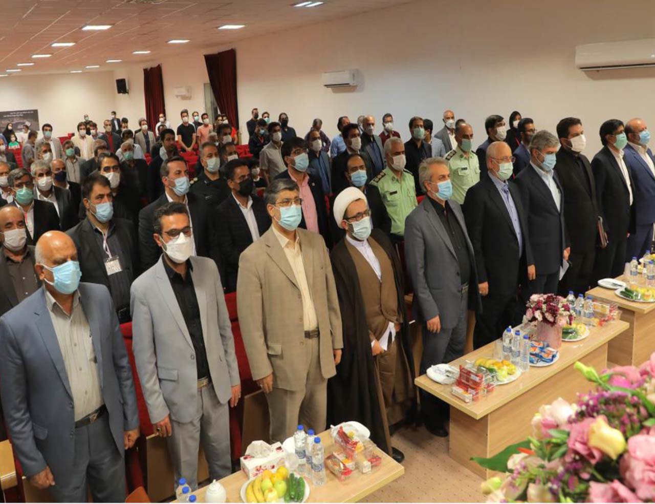
Scientific centers help discover mines in the country
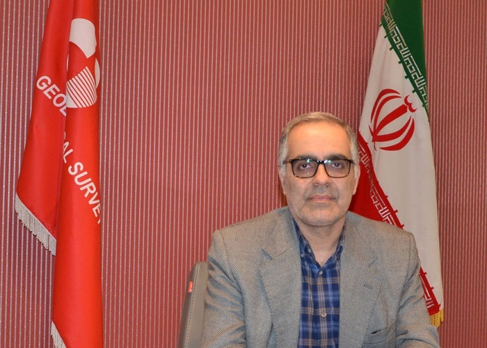
Deputy Minister of Industry, Mining and Commerce: The country is seriously weak in converting ore to mine and in the last ten years a large mine has been discovered and not registered in the world class, so there is a need for universities and scientific centers to provide solutions.
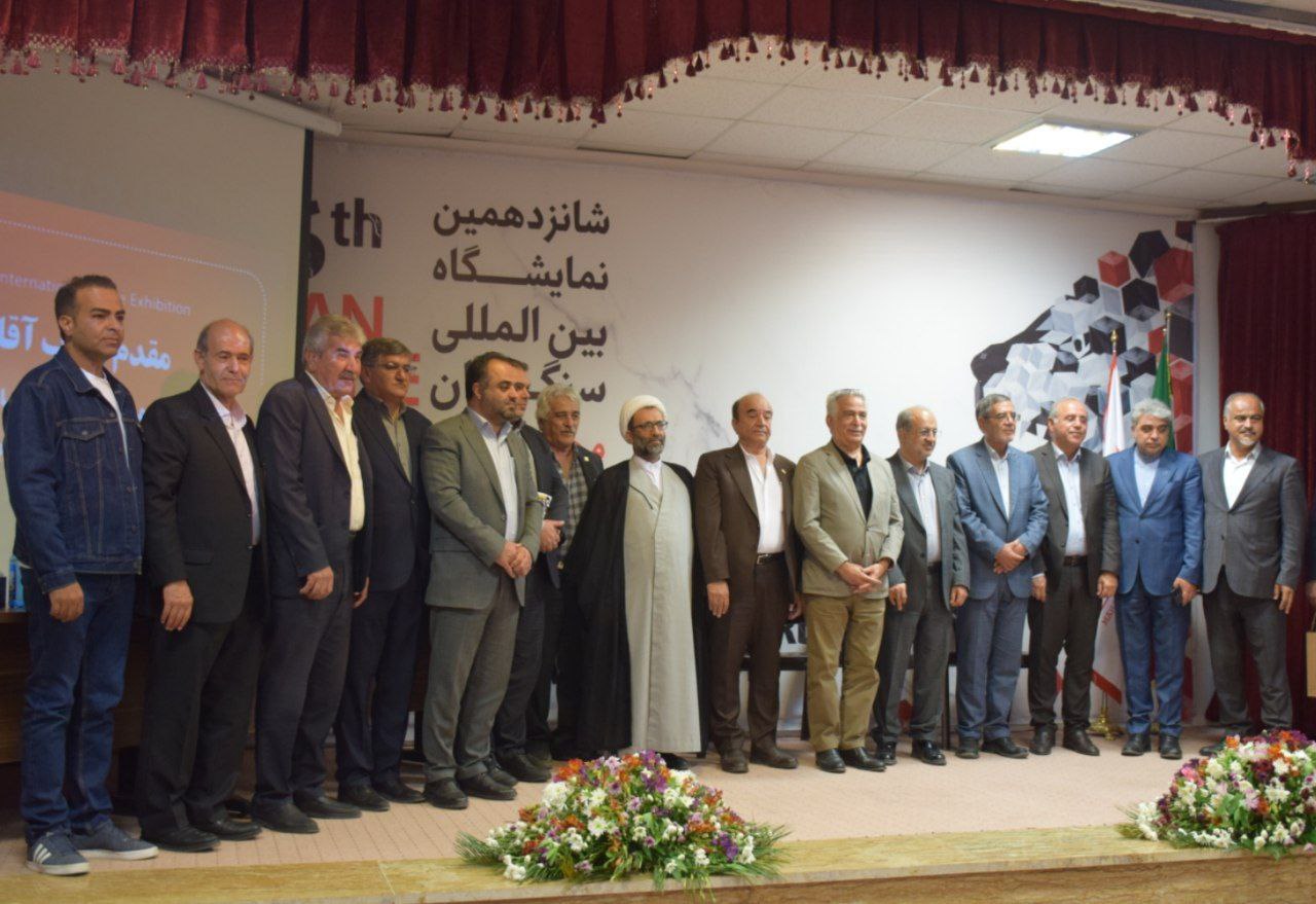
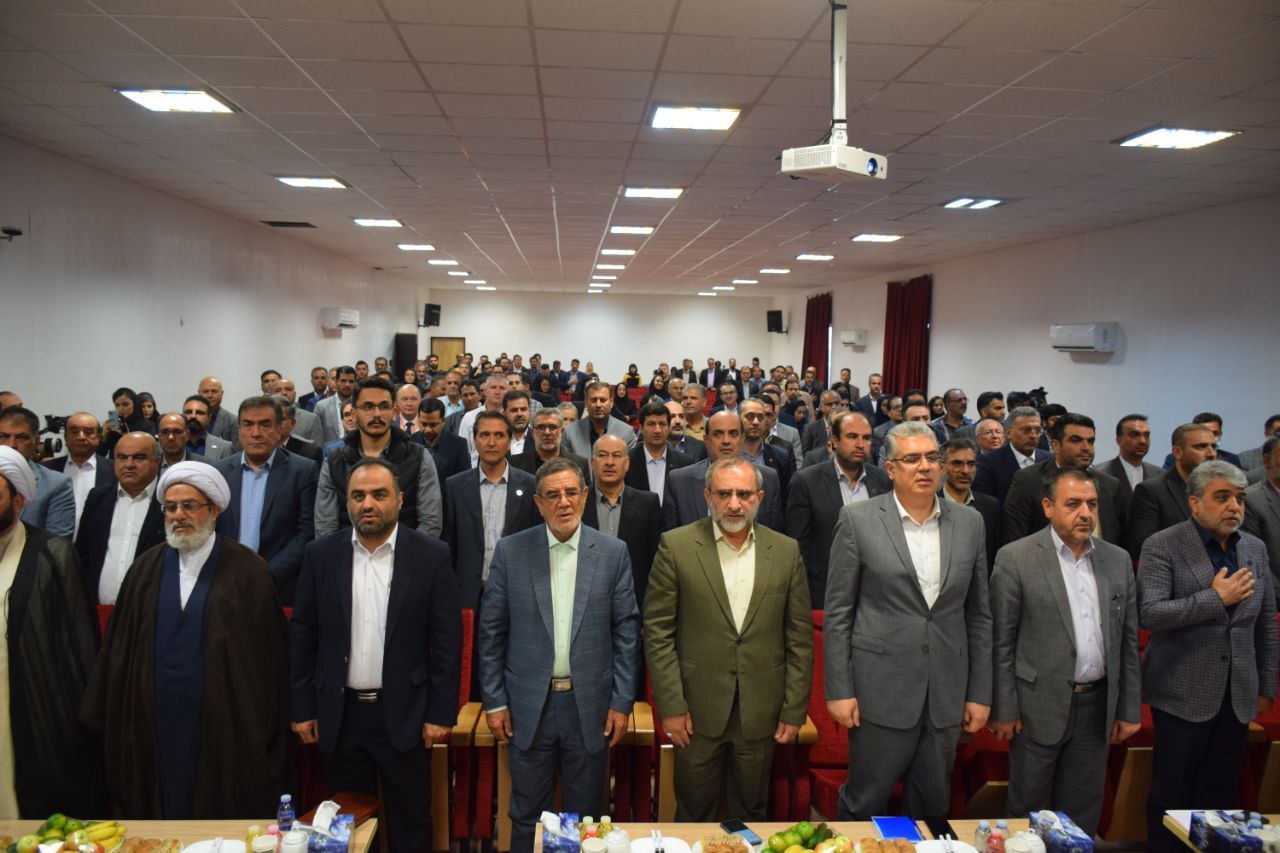
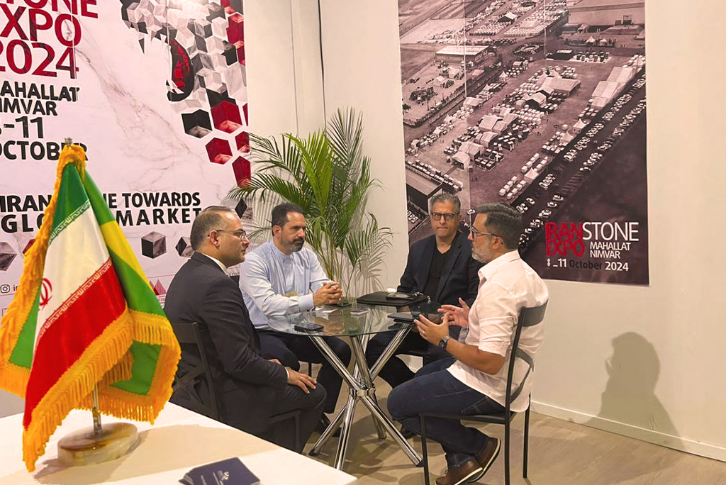
According to Iran's International Stone Exhibition, Alireza Shahidi said Tuesday at the 22nd Conference of the Iranian Geological Society: Iran has one percent of the world's iron production, and lead and zinc production is more than twenty million tons a year and needs to be increased. We have basic information for good performance.
He continued at Shahid Beheshti University: The Geological Survey has been monitoring the geology of the country several times and has prepared maps.
The head of the Geological and Mineral Exploration Organization of the country said: "To have a knowledge of the underground, we have turned to aerial geophysics since 2002 and the flight lines are two hundred and two hundred and fifty meters and we have six hundred and forty thousand kilometers of airborne landing."
Shahidi stated: In 2004, the National Atlas of Geological Thematic Maps was published by the Organization and the potential of 14 ore minerals was investigated.
"This atlas is a combination of geology, geological maps and other information, and we have increased our accuracy tenfold by scale," he said.
Shahidi went on to explain part of the function of the Geological Survey: In the nineties, exploration was carried out at a rate of 50,000 square kilometers and aerial geophysics at 600,000 forty kilometers in accordance with the Sixth Development Plan.
According to the head of the Geological Survey, many deposits in the world have been mined from years 3 to 5, but in the country this route is very long and takes many years. This dilemma must be resolved and the point is that there has been no world-class mining in our country for the past ten years.
The Deputy Minister of Industry said: The solutions to this dilemma are to carry out deep explorations in the planned two million seven hundred and fifty thousand kilometers of aerial geophysics, which is one hundred and fifty-five thousand square kilometers and exceeds our capacity. It is not and needs the help of the private sector.
He said the discovery was made using methods such as physical and chemical geophysics, hydro-geophysics and exploratory drilling.
The head of the Geological Survey stated: Parallel or reworked organizations do land data, which should be geological reference to land data.
On the future plans of the Geological Survey, he said: Completion and production of large-scale basic information with the aim of increasing accuracy and efficiency and reducing investment risk in exploration and infrastructure activities, completing the aerial geophysical cycle with the aim of exploring deep and hidden reserves in priority areas and reviewing information. The previous base is aimed at updating and enhancing their accuracy using world-class methods.
* IRNA
